


In field surveying, power-line inspection, forestry surveys, and engineering measurement, traditional measuring tapes and standard measuring equipment are often limited by distance and terrain. Measuring at height, over long distances, or in complex outdoor environments can be challenging, while measurement errors and long working times can directly affect operational efficiency and decision-making.
A stable, reliable, and versatile laser rangefinder telescope with a suitable measuring range and dependable accuracy has become an essential tool for outdoor professionals. The new 1500m Multifunctional Laser Rangefinder Telescope from RXIRY (JIANGSU) OPTOELECTRONIC CO.,LTD integrates distance measurement, height measurement, angle measurement, slope compensation, and flag-finding scanning into one device.
Combining a long measuring range with different measurement modes and reliable accuracy, its lightweight design makes it suitable for a wide range of challenging outdoor conditions. It provides a fast, accurate, and efficient measurement solution for professional field operations.
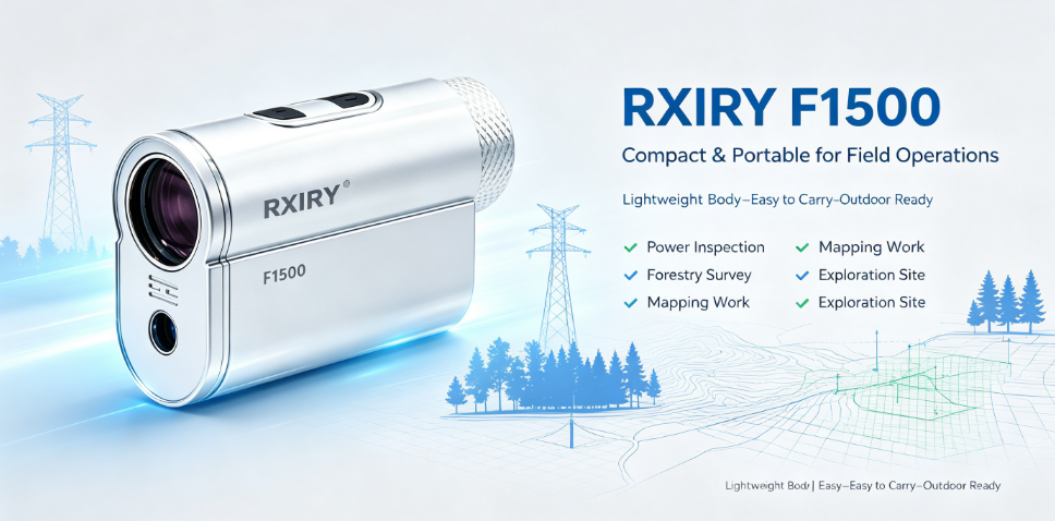
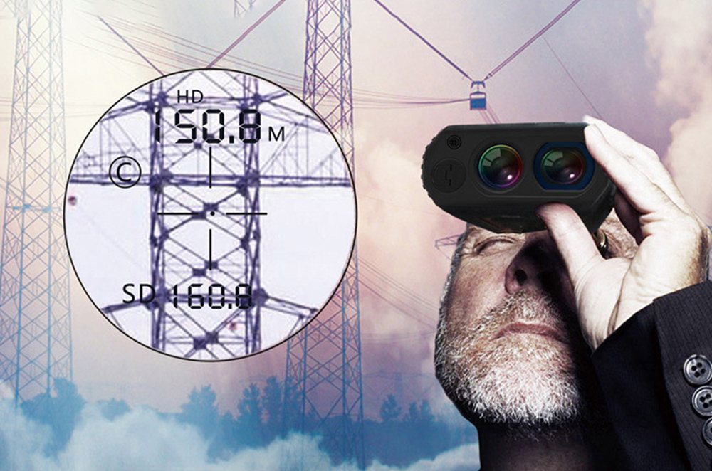
Measure distances between transmission towers, conductor crossing distances, clearance from conductors to the ground, conductor sag, and distances to obstacles. It can also help assess the safe clearance between trees and power lines. Non-contact measurement reduces the need for working at height and helps improve the safety and efficiency of power inspection and maintenance.
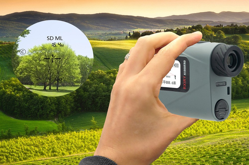
Measure tree height, distances within forested areas, terrain slopes, and distances during wildfire prevention inspections. Without the need to climb trees, a single operator can quickly complete field measurements and collect essential data, improving the efficiency of forestry surveys and inventory work.
Suitable for outdoor terrain surveys, foundation pit measurements, slope angle checks, and distance measurement at construction sites. In mountainous and sloped environments, slope compensation can be used to obtain adjusted measurement results, providing reliable data for construction and project acceptance.
Measure distances related to roadbeds and bridges, assess slope angles, and measure distances across rivers and other terrain. For mountainous areas, landslide zones, and other difficult environments, long-distance non-contact measurement helps reduce exposure to hazardous areas and improves field surveying safety.
Quickly assess distances at disaster sites, measure the height and distance of high-rise buildings, and determine safety or warning perimeters. By providing key distance and angle data quickly, the rangefinder can support on-site assessment and emergency decision-making.
The flag-finding mode is designed to quickly identify and lock onto target flags, making it suitable for outdoor surveying, field operations, and other applications that require fast and accurate target measurement.

 Tel:+86-147-6265-1990
 Mail:amy@rxiry.com; rachel@rxiry.com
 Add:6-3, Huai 'an Zhiche City Industrial Park, No. 642, Huaihe Road, Huaiyin District, Huai 'an City, Jiangsu Province, China
Copyright © 2022 RXIRY ( JIANGSU ) OPTOELECTRONIC CO., LTD All Rights Reserved.
XMLMAPTECHNICAL SUPPORTXIHE NETWORK




 POSITION: