


A truly high‑performance industrial rangefinder needs to be compact and portable for field operations, fully‑featured to deliver multi‑dimensional measurements, and consistently accurate to produce reliable real‑world data under complex working conditions.
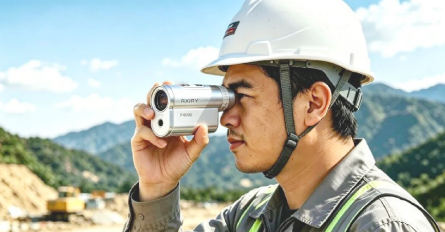
Today, let our engineers introduce the Rxiry F4000 Laser Rangefinder, independently developed in‑house. Packed with powerful capabilities in a compact form factor, it redefines efficient outdoor measurement experiences.
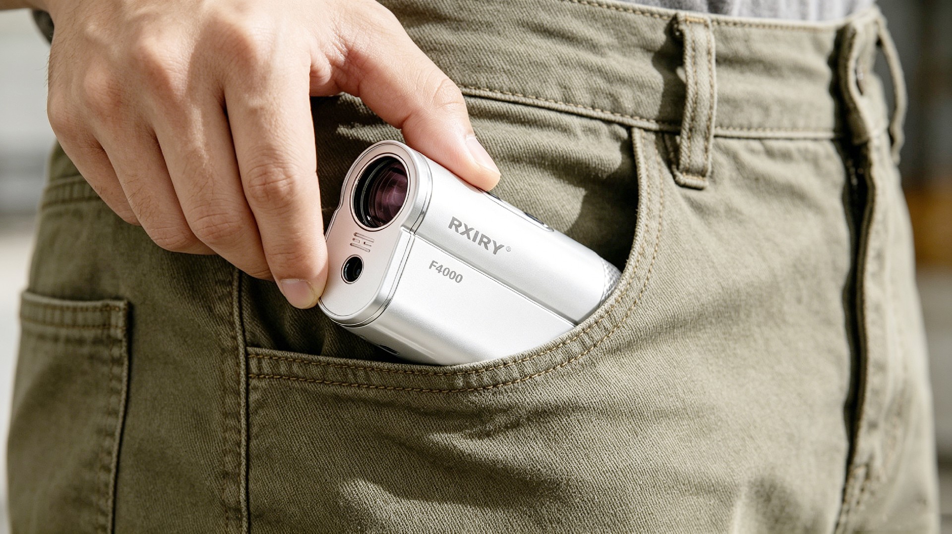
Boasting a streamlined compact body, it is lightweight enough to slip straight into a work‑pocket. No bulky instrument bag is required. For outdoor surveys and engineering inspections, it is ready for instant use on‑site. True on‑demand availability greatly reduces the load for field staff.
The F4000 offers a measurement range of 0‑4000 m, with a ranging accuracy of 0.3 m and resolution of 0.1 m. It delivers stable and consistent readings even at extreme distances, handling both short‑range point verification and long‑distance target surveys spanning several kilometers with ease.
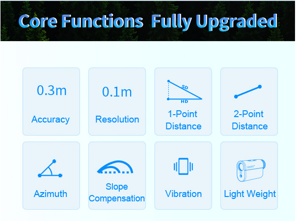
An all‑in‑one measuring device integrating ranging, height measurement and angle measurement, the F4000 comes with multiple professional measurement modes. It effortlessly performs single‑point vertical height difference measurement, azimuth reading, and spatial distance calculation between any two points. Freely switch among normal measurement, scan mode and slope compensation mode to adapt to diverse field scenarios.
Replacing multiple separate measuring tools, it drastically boosts on‑site work efficiency.
Obtain horizontal and slant distances to targets with a single tap, streamlining fundamental measurements for building surveys and terrain reconnaissance.
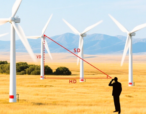
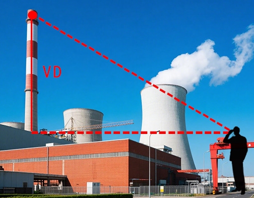
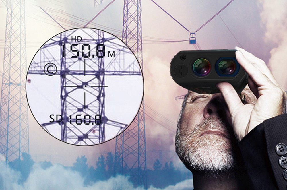
Read vertical difference (VD) between the instrument and target horizontal plane together with pitch angle in one single measurement. Quickly acquire height data for mountain slopes, power towers and building elevation differences.
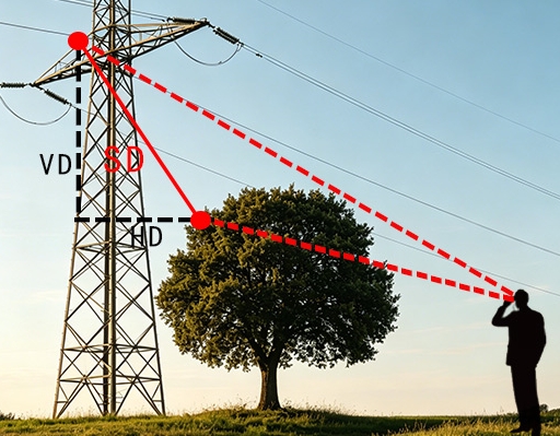
Take two aimed measurements to compute the spatial straight‑line distance between power transmission lines and obstacles. Three sets of 3D values are displayed simultaneously: slant distance (SD), vertical difference (VD) and horizontal distance (HD). For instance, during power‑line patrols, tree‑obstacle clearance can be calculated remotely without accessing hazardous locations.
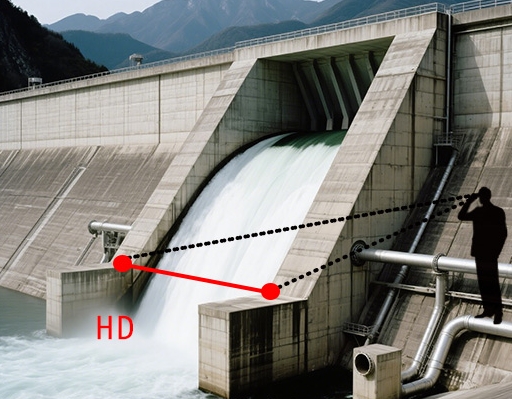
Aim at two target points such as dams, mountain features or buildings to directly compute their horizontal separation. Ideal for dam monitoring, site surveys and cross‑obstacle measurements.
Capable of replacing traditional compasses, it delivers precise target azimuth readings for field exploration and geospatial positioning in a single operation.

Independently engineered by Rxiry, the F4000 Laser Rangefinder puts 4000‑meter range and multi‑dimensional measurement performance into a pocket‑sized unit. Leave compasses and multiple pieces of equipment behind. Slip it into your work‑pocket and set off for mountain inspections, wilderness surveys and engineering sites — your dependable measurement partner for field engineers.

 Tel:+86-147-6265-1990
 Mail:amy@rxiry.com; rachel@rxiry.com
 Add:6-3, Huai 'an Zhiche City Industrial Park, No. 642, Huaihe Road, Huaiyin District, Huai 'an City, Jiangsu Province, China
Copyright © 2022 RXIRY ( JIANGSU ) OPTOELECTRONIC CO., LTD All Rights Reserved.
XMLMAPTECHNICAL SUPPORTXIHE NETWORK




 POSITION: