
 POSITION:HOME>MEASURE THIS>ELEVATION
Definition of Elevation:
1) The height to which something is elevated : the angular distance of something (as a celestial object) above the horizon.
2) Vertical distance either between the top and bottom of something or between a base and something above it.
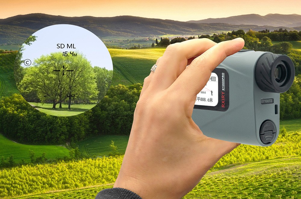
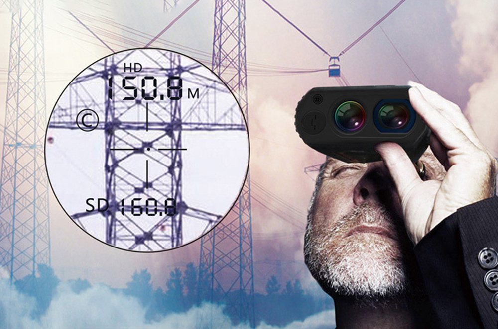
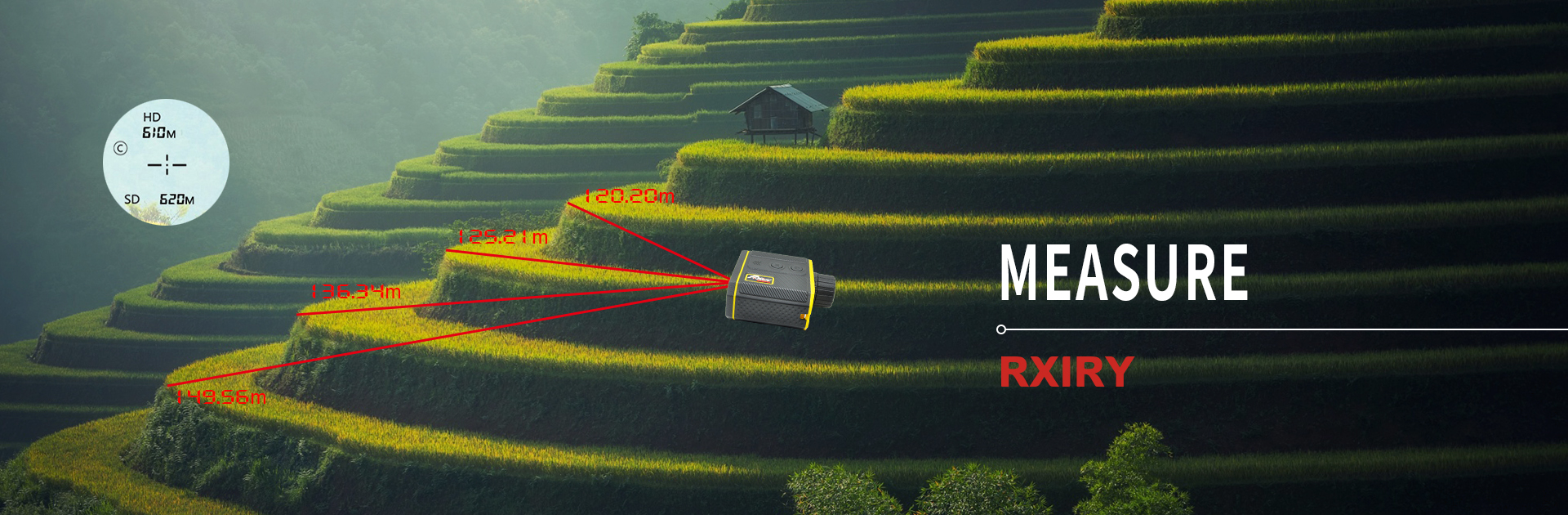
All of our laser rangefinders that include a tilt sensor have the ability to calculate vertical distance. Every shot taken automatically measures slope distance and the degree of inclination and with those two values, the horizontal and vertical distance is then instantly calculated.

 Tel:+86-147-6265-1990
 Mail:amy@rxiry.com; rachel@rxiry.com
 Add:6-3, Huai 'an Zhiche City Industrial Park, No. 642, Huaihe Road, Huaiyin District, Huai 'an City, Jiangsu Province, China
Copyright © 2022 RXIRY ( JIANGSU ) OPTOELECTRONIC CO., LTD All Rights Reserved.
XMLMAPTECHNICAL SUPPORTXIHE NETWORK