

 POSITION:HOME>MEASURE THIS>3D MISSING LINE
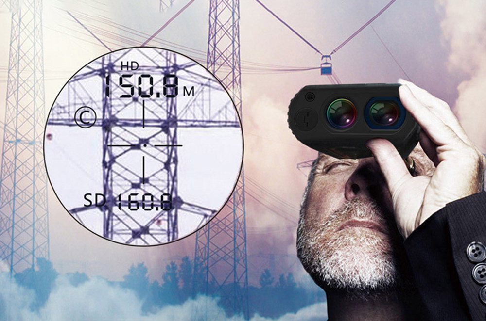
Definition of 3D Missing Line: a value between two remote points that is calculated by measuring the slope distance, inclination and azimuth value to each targeted point.
The 3D result equates to the slope distance, vertical distance, horizontal distance, inclination as well as the azimuth value from the first measured target one to second one. Typically, this calculation is used to determine spans between utility poles or clearances from conductors to encroaching vegetation.

 Tel:+86-147-6265-1990
 Mail:amy@rxiry.com; rachel@rxiry.com
 Add:6-3, Huai 'an Zhiche City Industrial Park, No. 642, Huaihe Road, Huaiyin District, Huai 'an City, Jiangsu Province, China
Copyright © 2022 RXIRY ( JIANGSU ) OPTOELECTRONIC CO., LTD All Rights Reserved.
XMLMAPTECHNICAL SUPPORTXIHE NETWORK