


What are the biggest headaches in outdoor surveying?
Targets too far away to see clearly, fragile equipment, readings distorted by hand tremors, limited functions forcing you to carry multiple instruments...
Rxiry fully understands the struggles of surveyors.

Today we are introducing the Rxiry XR Series Laser Rangefinder. With visibility ranging from 16 to 20 km, it delivers a measuring range up to 10,000 meters. It locks onto targets instantly and returns distance data rapidly — a true professional-grade tool for outdoor measurement.
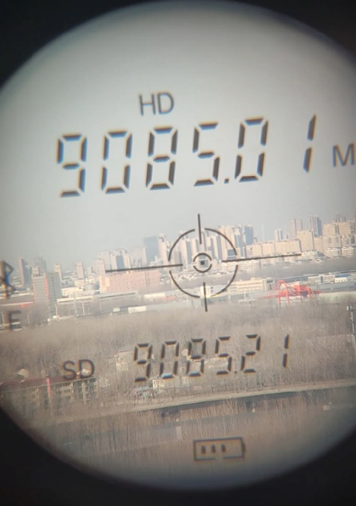
Long measuring range is only its foundation. What makes the XR Series an all-round powerhouse for professional surveying are these robust capabilities:
Clear View
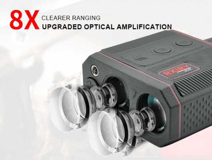
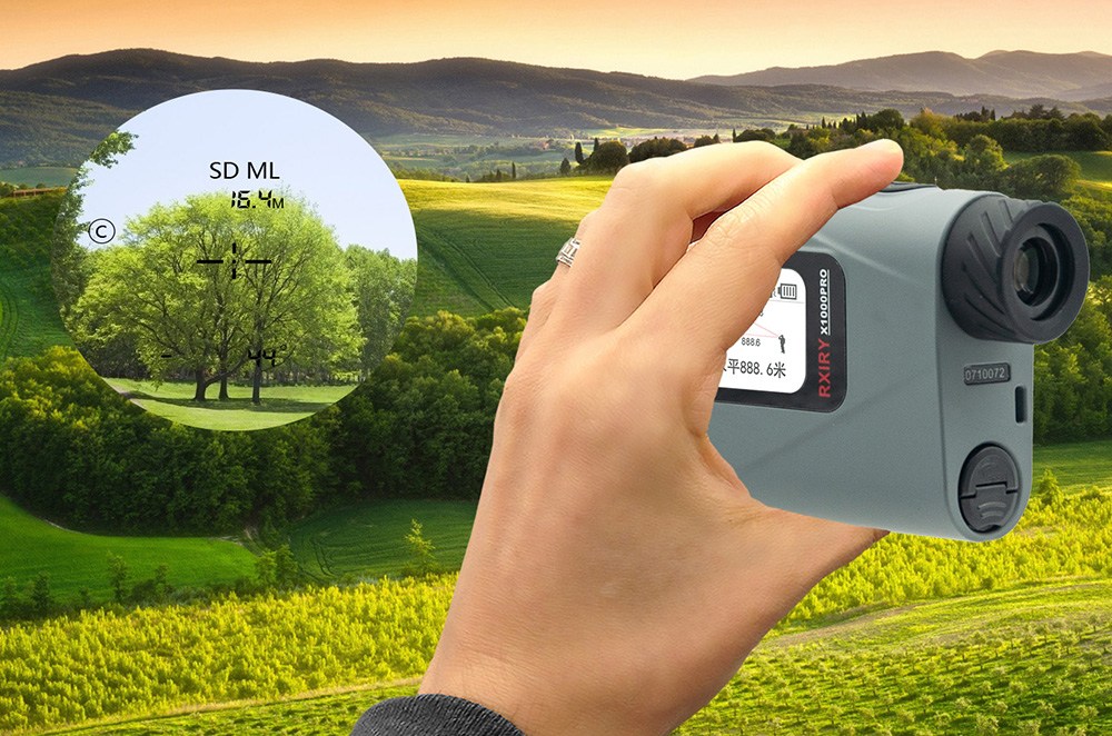
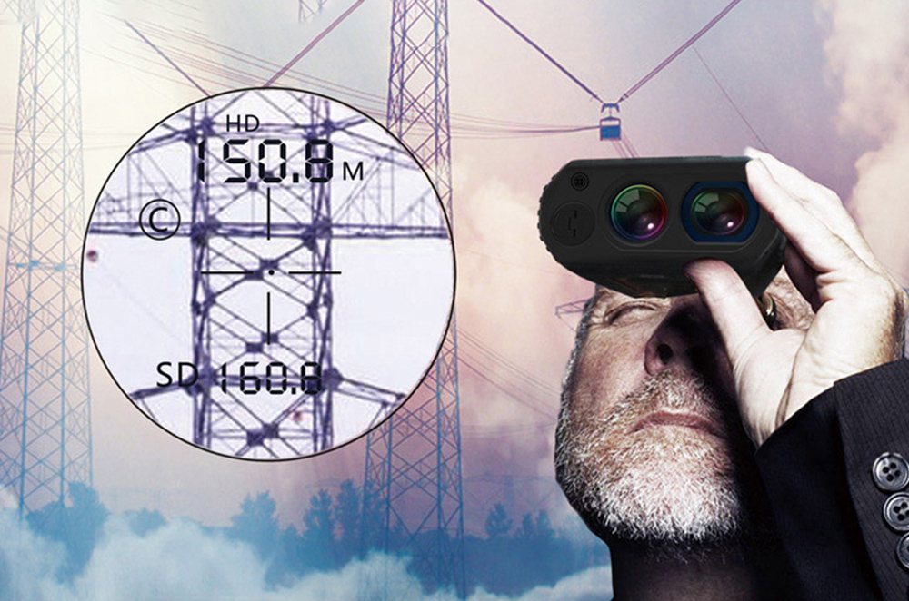
Fully coated optical lenses greatly boost light transmission and reduce reflection for bright, sharp imagery. Paired with 8x magnification, details of power towers and rock formations thousands of meters away are crystal clear in the eyepiece.
Precise Measurement
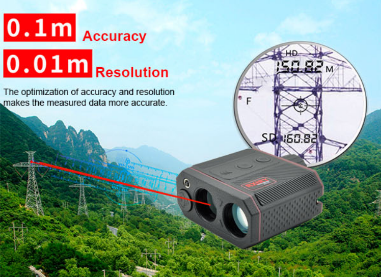
It features a measurement accuracy of 0.1 m and resolution of 0.01 m, delivering reliable field data. A tripod mounting port at the base eliminates hand shake for superior precision during long-range measurements. It supports 11 measurement modes: distance, height, angle, velocity, temperature measurement, BDS offset positioning and more. One unit meets demands across power, forestry, geology, environmental protection, water conservancy, fire emergency, safety supervision, petroleum exploration and other industries.
Rugged Build
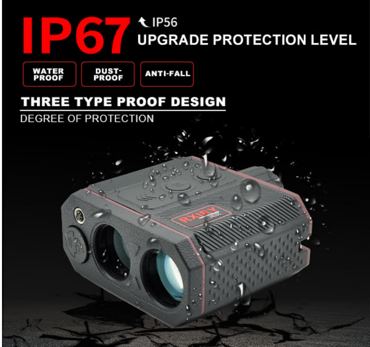
The textured anti-slip body ensures a firm grip even when wearing gloves. Rated IP67 for waterproof, dustproof and drop resistance, it stands up to rain, dust and accidental drops, built for harsh field environments.
Smarter Operation
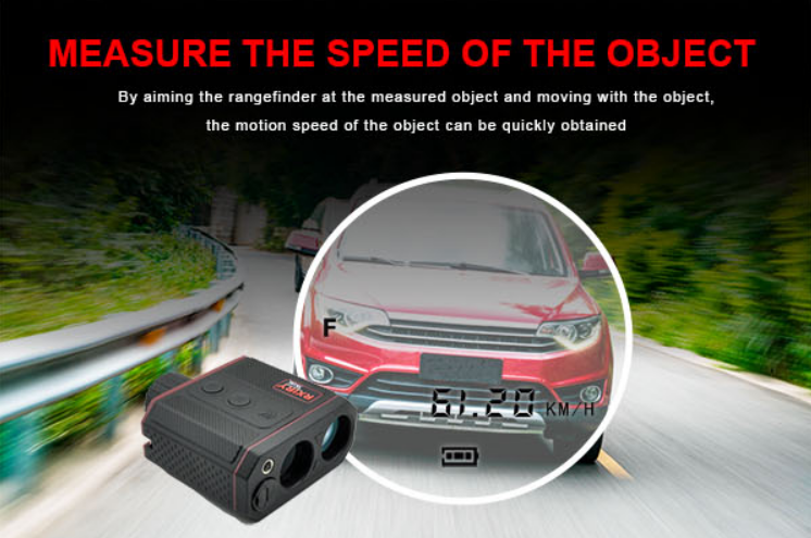
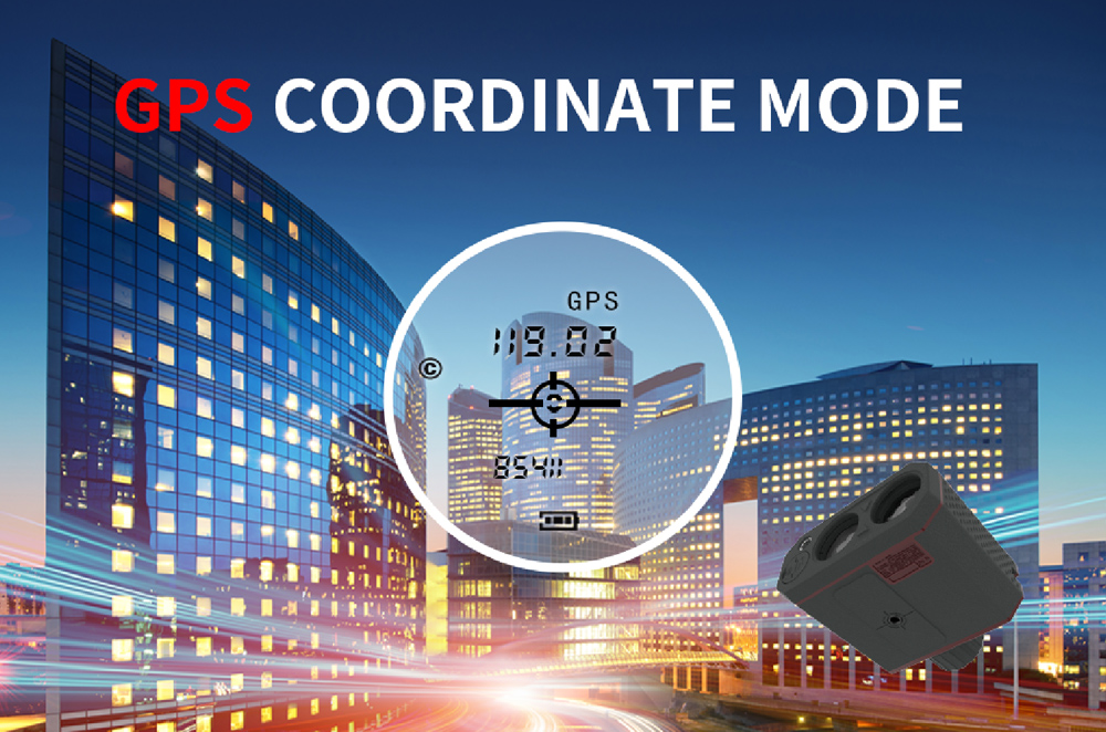
BDS BeiDou Positioning: records coordinates of your current location and target points to prevent getting lost during fieldwork. Object Velocity Measurement: aim at a moving target and track it to quickly acquire its speed. Ambient Temperature Display: keep track of weather conditions to help judge measurement reliability. Bluetooth connection to Xinrui Measurement APP: transfer measurement data to your phone in one tap. Supports area measurement, offset measurement, latitude & longitude collection, photo capture, data export, navigation, audio recording and other functions. The APP features intuitive guided operations with nearly zero learning curve.
Rxiry XR Series Laser Rangefinder is not just an ordinary rangefinder but a professional outdoor survey terminal integrating ultra-long-distance ranging, high-definition optics, multi-mode measurement, rugged protection and intelligent data management.
10,000 meters maximum range is only its starting point. What earns trust from professionals is that every detail stands the test.

 Tel:+86-147-6265-1990
 Mail:amy@rxiry.com; rachel@rxiry.com
 Add:6-3, Huai 'an Zhiche City Industrial Park, No. 642, Huaihe Road, Huaiyin District, Huai 'an City, Jiangsu Province, China
Copyright © 2022 RXIRY ( JIANGSU ) OPTOELECTRONIC CO., LTD All Rights Reserved.
XMLMAPTECHNICAL SUPPORTXIHE NETWORK




 POSITION: